 Natural sciences
On the wave of a megaflood


- Several thousand years ago the Suwalki region was hit by one of the biggest floods in the history of the Earth, say geographers from the Nicolaus Copernicus University. Their research is of colossal importance to the scientists interested in climate changes at the end of the last glaciation.
The development of modern technology of land surface imaging has brought about a significant qualitative change in geomorphological studies and research on the genesis of landscapes, not only post-glacial ones. The breakthrough came with LIDAR (from Light Detection and Ranging), a laser scanning method that makes it possible to create high-resolution digital terrain models (DTM). When LIDAR data became publicly available in the Geoportal, scientists from various universities in Poland began searching for interesting forms of terrain relief.

Andrzej Romański
Prof. dr habil. Wojciech Wysota and dr habil. Piotr Weckwerth, NCU Prof. from the NCU Faculty of Earth Sciences and Spatial Management analysed independently of each other the various landforms visible on the DTM, and their attention was drawn to those occurring to the south of Lake Wigry. At some point they exchanged observations about this region, where they managed to identify forms typical of large water flows. Already a quick look and the first analyses of their shapes, e.g., the height and the degree of asymmetry of their slopes, made it possible to notice clear similarities with the forms described in the literature, which were formed as a result of glacial mega floods in the United States or in the Altai Mountains. – We formulated a research hypothesis that these were forms related to megafloods, - says Prof. Wysota - Then all we had to do was to go there and verify this.
From the sky into the underground
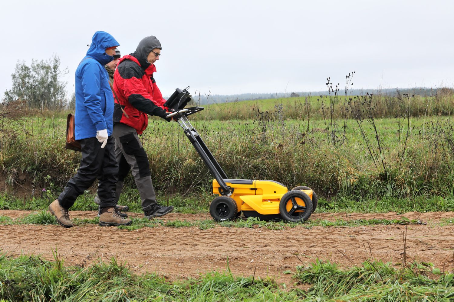
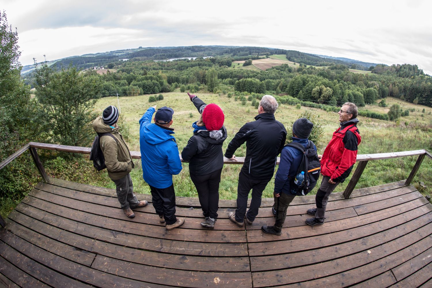
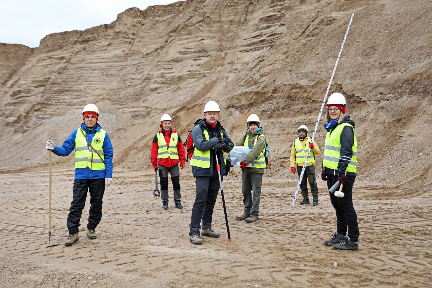
The field investigations started in 2015. The scientists selected the sites that seemed most representative for the identification of glacial floods. These were primarily megadunes (mega ripple marks) located to the south of Lake Wigry. These are gigantic, even 8-metre "wrinkles" of land, very characteristic of conditions on the bed of a river with gigantic flow and depths reaching several tens of metres. In September 2015, thanks to the hospitality of the Wigry National Park and in cooperation with the Suwałki Forest District, a team of researchers undertook the first exploration of the area to the south-east of Lake Wigry. That is where the first hand-held geological probes were carried out in the mega ripple marks, which confirmed the initial assumptions. - It turned out that these forms were made of sands and gravels, explains Prof. Weckwerth. - We know for sure that there is no glacial till there, which was suggested by earlier studies. Having already made a preliminary survey, we started looking for further forms that would be a continuation of the large system of glacial megaflood forms, which formed specific spatial distribution and were genetically connected with one another, above all in the context of the great meltwater flow.
Andrzej Romański
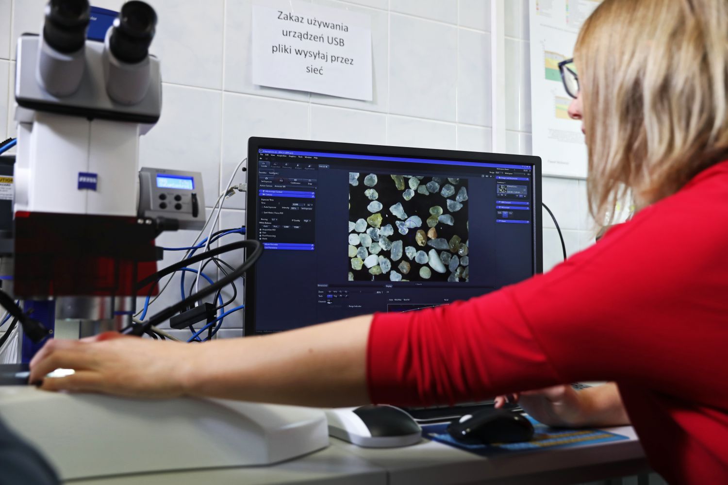
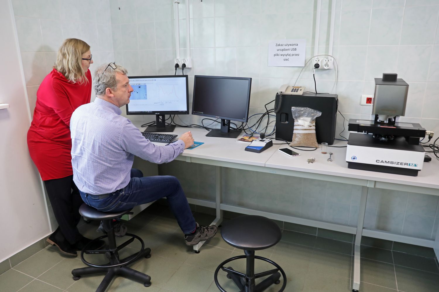
The initial stage of work was related to geomorphological analysis performed on the basis of DTM. Having its results in hand, the researchers selected objects for further field investigations. These are connected with preparation of profiles of geological formations visible in the exposures (trenches), which are necessary to determine the internal structure and composition of deposits constituting the selected forms. – We can determine what can be found in the profile on the basis of a mechanical or hand-held probe but then we do not see the spatial distribution of the layers and the contacts between them, explains Prof. Wysota, - We find out what kind of deposit can be found under the ground surface, but we do not know the spatial distribution of layers and their features, which allows us to say what geological processes were responsible for their formation.
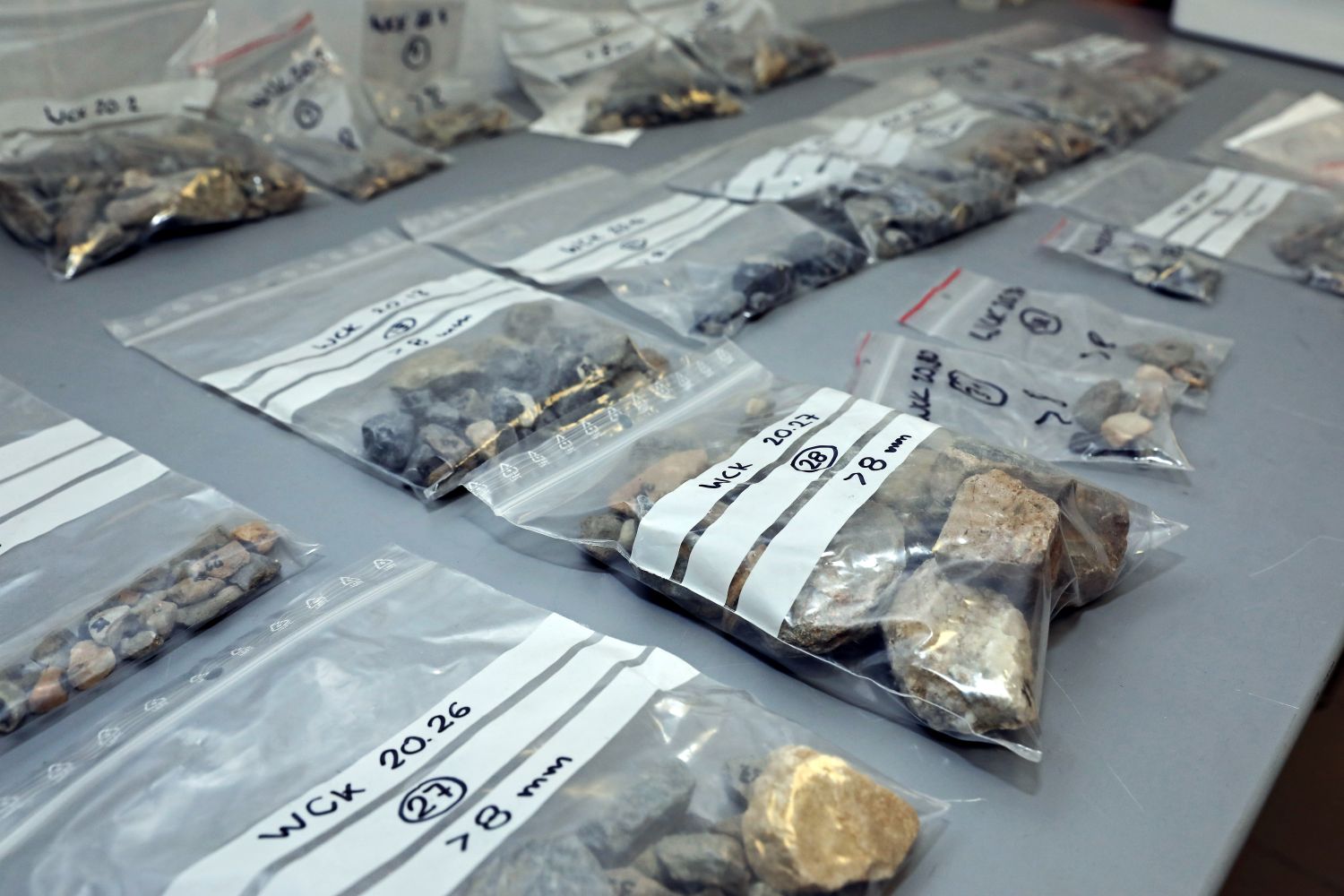
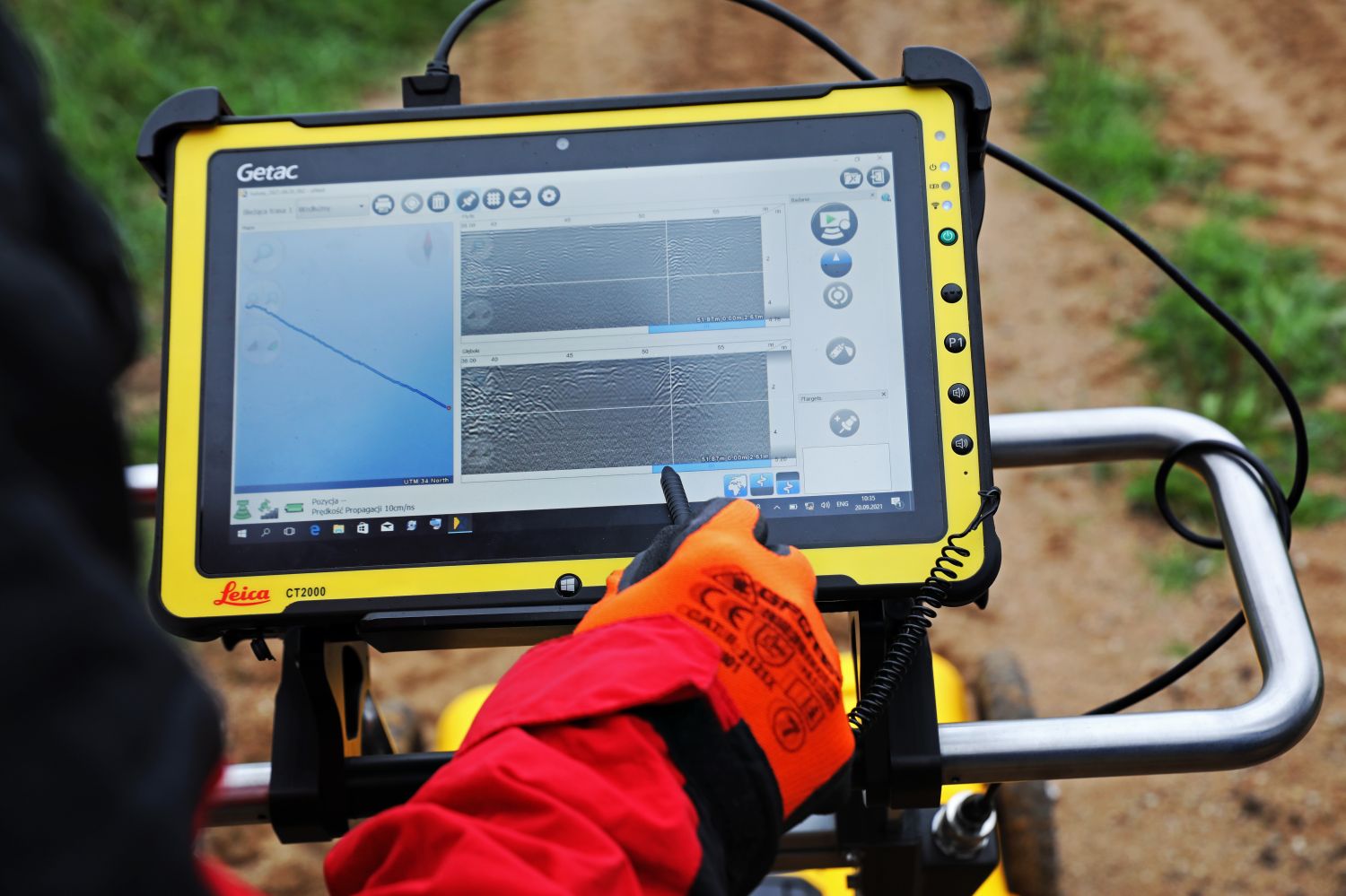
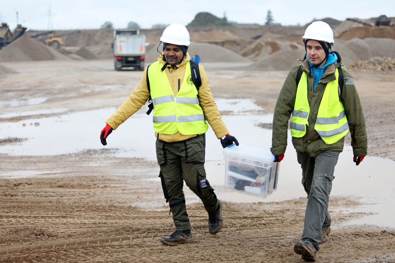
The researchers are conducting a geological study of the deposits on the megadunes ridge and on both its downstream and upstream sides. They are analysing the trench walls in detail, describing the exposed deposits, making photographic documentation, examining the orientation of the layers using a geological compass in order to determine the direction of the water flow and taking samples for further laboratory analyses. They are also carrying out geophysical surveys (geo-radar and electrical resistivity tomography), which allow them to capture the broader geological background.

Andrzej Romański
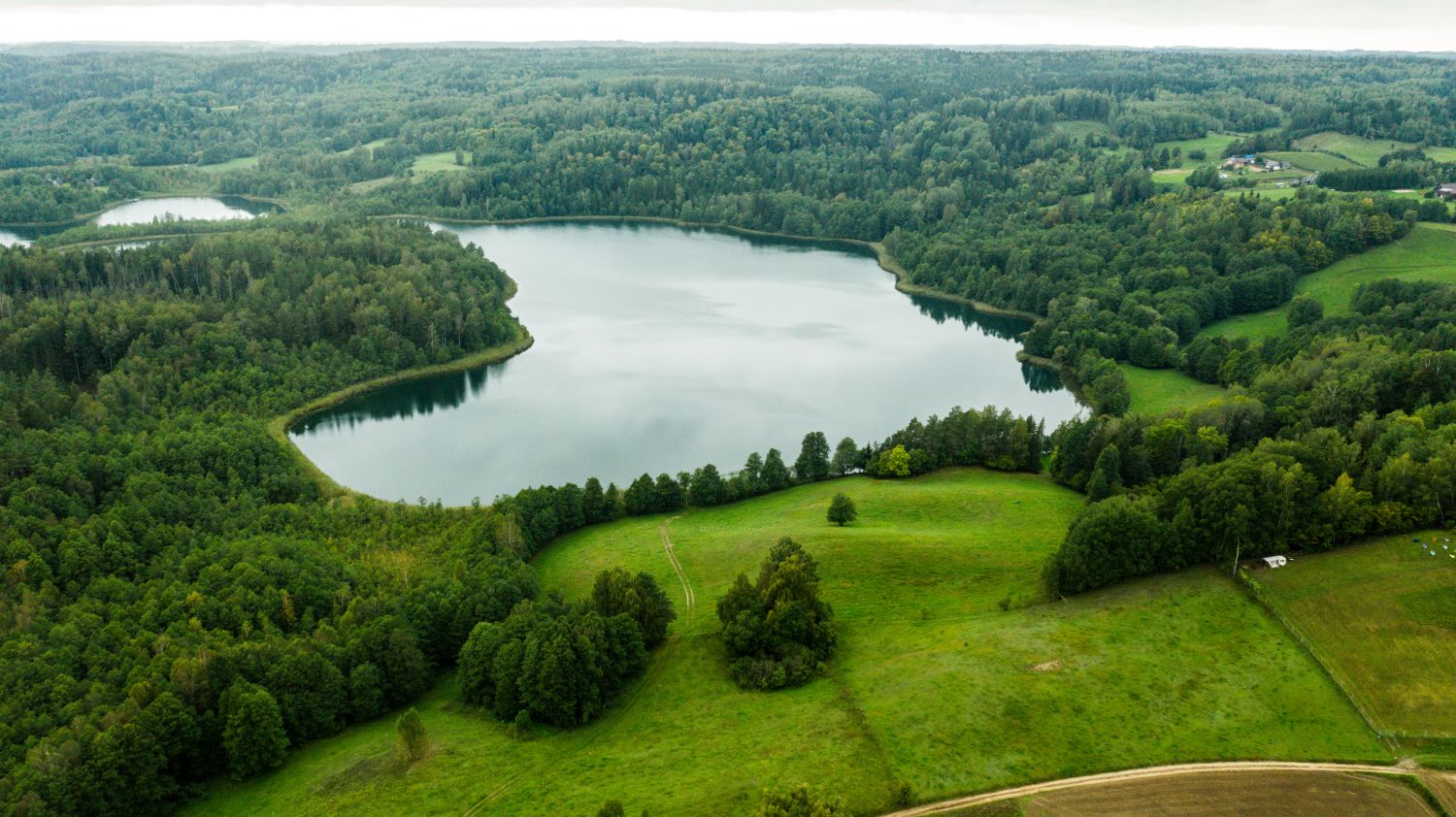
The research carried out in the Suwałki region by the geographers from the Nicolaus Copernicus University is primarily aimed at documenting the forms that are evidence of glacial flooding, located furthest from its source and moving systematically towards the front of the former ice sheet. Glacial gates formed in the zones of outflow of glacial waters from under the ice sheet are being studied as well as the relief and the deposits that formed there on the occasion of violent outbursts of water from under the ice sheet. The observations were made in those places where the waters of glacial floods had left a trace in the form of accumulation of various deposits, especially coarse-grained material. Its presence does not surprise geologists – because when water flows below the ice, on the one hand it models the relief of the ground beneath it through its erosion, and on the other hand, it accumulates material by flowing ahead of the front of the glacier. At the beginning it leaves the largest material in terms of grain size, and the further it goes, the finer it gets. - These are general rules, but there are exceptions, says Prof. Weckwerth. - At the Bachanów gate (to the east of Lake Hancza) we found fine-grained deposits in many of the trenches, which also record the final phase of the flood, when the velocity of the water flow got slower.
In the next stage of the research, the researchers dealt with solving the problem of the genesis of the sets of winding subglacial forms. It turned out that a part of the study area was formed in the subglacial zone, and together with that formed before the frontal zone of the ice sheet, they constituted one great system, which indicates that the waters of the massive glacial flood flowed out through three gates: Bachanowska, in the vicinity of Szeszupka and Prudziszki. The latter was the largest and connected two main channels, two great subglacial valleys: one running along Lake Szelment Wielki and the other subglacial Jeleniewska Valley. Both are connected in the back of the Prudziszek Gate. In turn, the deepest and the most extensive subglacial valley, functioning probably for the longest time, was the one connected with the great Szeszupe depression.
Similarly to the other two valleys, the subglacial valley of Szeszupe extends further to the north, certainly in the direction of the source of the glacial flood, says Prof. Weckwerth. - So, the question is, where was this source? Most likely, it was in the area of a large depression in southern Lithuania. This is indicated by the fact that all the valleys merge in the border zone, in the vicinity of Poszeszupie, where there may have been an extensive meltwater trap below the ice.
The meltwater must have flowed below the ice sheet under very high pressure and outflowed into the ice sheet foreland in many places - the main outflow gates were associated with the Suwałki Flood, although other such places may have also been also located in Lithuania. It is possible that in the same way, as a result of the outflow of waters through channels directed directly to the south, for example, the South-Lithuanian sandurs - The fact that the outflows were of great glacial floods is evidenced by megadunes that we identified in the area of southern Lithuania, similar to those that we identified around Lake Wigry. This time they prove the flow of flood waters from the east to the west, from Lithuania towards Poland," explains Prof. Weckwerth. - All these waters merged on the Augustów Plain, which is home to a complex system of megadunes with ridges oriented both east-west (glacial flood flow from the north) and north-south (flow from the east).
The researchers from Toruń have managed to study the landforms, they know their genesis, the volume of glacial flood waters and their direction. They still have one mystery left to solve - when exactly did the glacial megafloods occur? The approximate age of these floods can be determined on the basis of geomorphological indications, which are helpful in determining the extent of the glacier front. - In the case of the Suwałki floods, it can be dated to around 15-16 thousand years ago," says Prof. Wysota, - But we don't really know that, it's just an estimate.
In its time
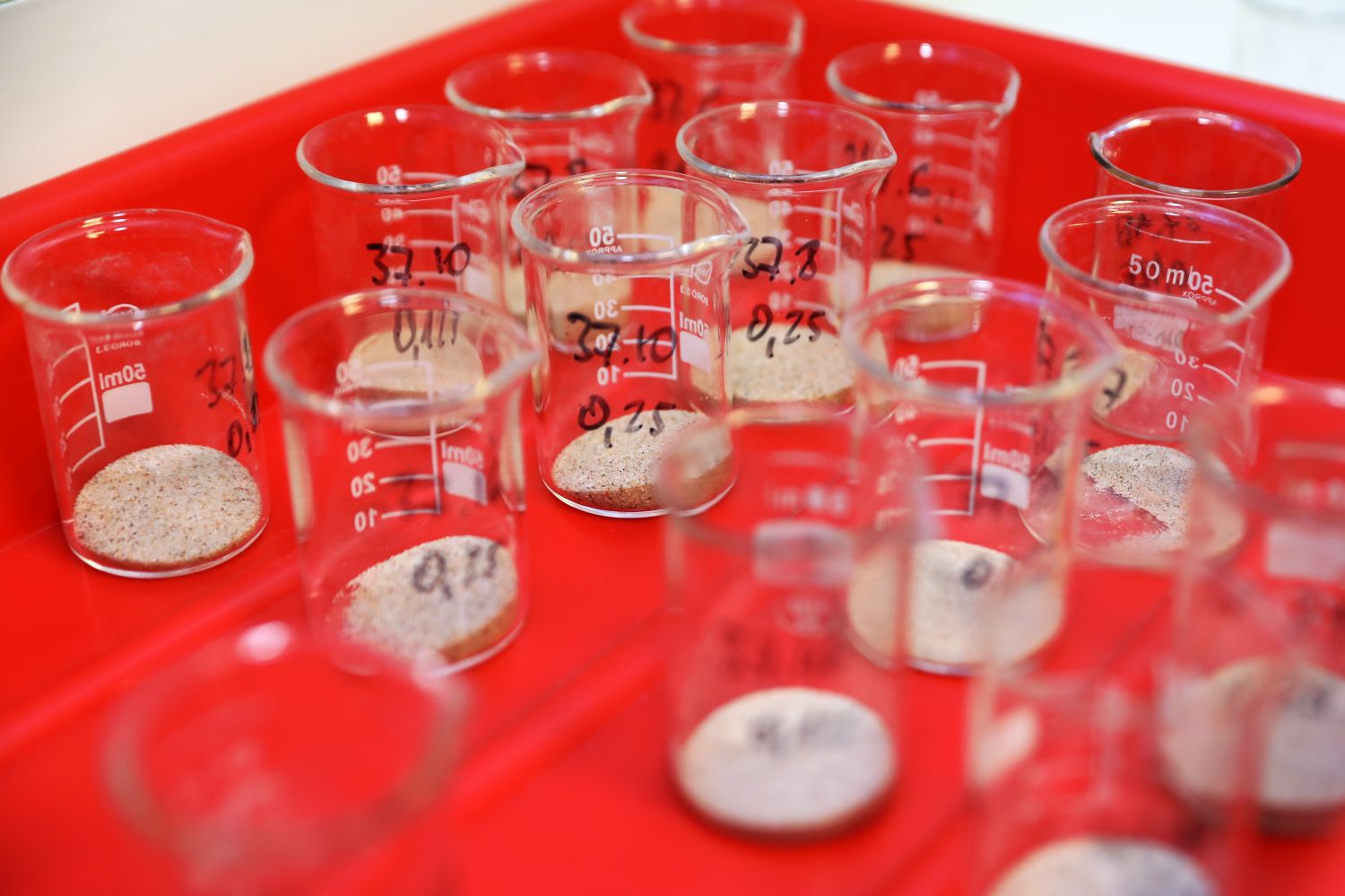
The absolute age of deposits can be determined using luminescence methods. By separating quartz grains from the deposits, in which energy from the radiation found in the environment accumulates, the researchers are able to determine when the deposits got cut off from access to sunlight due to being covered with another younger deposit. -We measure the amount of energy that has accumulated in that grain, and then we divide by the energy that can accumulate over the course of a year, and that's how we get the age of the deposit, explains Prof. Wysota.
- One needs to be careful not to destroy a sample intended for luminescence dating, i.e., not to expose it to light - adds dr habil. Edyta Kalińska, NCU Prof. from the Department of Geomorphology and Quaternary Paleogeography. - Therefore, the tubes into which the sand is taken are tightly closed and the material undergoes further studies in specialised laboratories and rooms completely devoid of daylight and equipped with red-coloured darkroom lamps.

Andrzej Romański
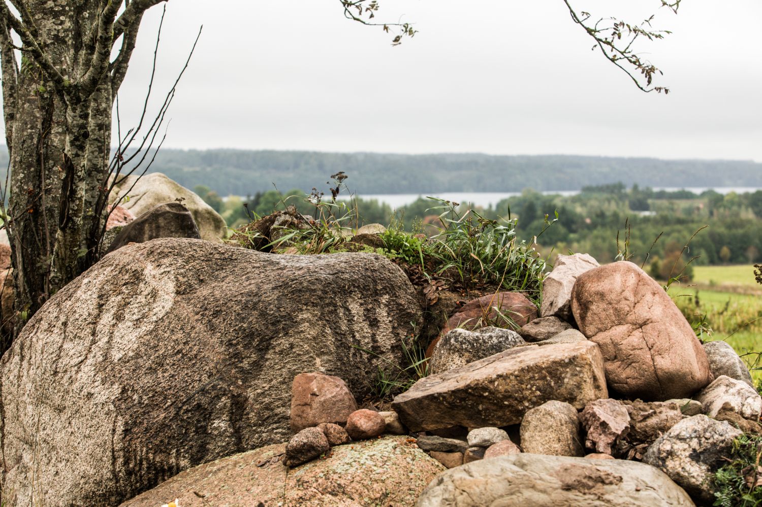
However, significant discrepancies occur in this dating method, which usually indicates that the flow was fast, turbulent and deep, and that the water was turbid and dirty, so that light could not pass through it. Despite these inaccuracies, geographers assume that the Suwałki megaflood happened about 15-16 thousand years ago. - This has been confirmed by dating in Lithuania and the Suwałki region using the so-called cosmogenic isotope method. This method is used to study e.g., erratic boulders that have been freed from ice and exposed to cosmic radiation - says Prof. Wysota. - It is a method that makes it possible to determine when a given landform was exposed from under the ice.
Until now, the waters that cut through the huge latitudinal valleys called ice-marginal valleys that run across the whole of Poland and stretch towards Germany to the North Sea shelf have been associated with the recession of glaciers at the end of the glaciations, when such forms were very numerous. The meltwater appeared at the glacier marginal zones and flowed southwards to the glacier frontal zone. At the same time, the waters of existing rivers, such as the former Vistula and Oder, merged with the meltwater to form a system of ice-marginal valleys that carried water further to the west.
Even for such a combined flow of waters of different origins, the resultant valleys are disproportionately large, which has puzzled researchers, notes Prof. Weckwerth, - This gap in knowledge has been filled by the results of our research. It turned out that there had been sudden, catastrophic discharges of huge quantities of meltwater, which, after accumulating in glacial lakes - under the ice or on the ice - fed successively into the system of ice-marginal valleys in the frontal zone.
The system of main ice-marginal valleys originated as a cascading system of great lakes collecting the meltwater of the ice sheet in a short time. Combining to form a single great flow, they followed westwards through Germany, the North Sea, which used to be a land at that time, and the English Channel to the Bay of Biscay.
Warm, cold, warmer and warmer
How exactly did this unique landscape emerge? More than 115,000 years ago, the Earth's temperature was similar to today's, and the Scandinavian ice sheet did not exist. It appeared as an ice formation - an ice sheet - around 60,000 perhaps 70,000 years ago. Since then, the Scandinavian ice sheet has had different phases, it shrank and expanded, until about 20,000 years ago it had reached its maximum spread, i.e., it had reached as far south as Poland and Germany. Then the warming and recession of the ice sheet began. However, the ice did not melt all the time - the climate warmed and then cooled. It was not until around 17,000 years ago that the ice sheet gradually and rapidly began to disappear from Poland. The ice melted in contact with the atmospheric air, but also in contact with the rock substrate, because geothermal heat had reached it. The melting water had three options: if the ground was porous enough, it soaked in; if drainage was possible in contact with the ground, it flowed towards the ice margin; and when it was not, it accumulated, leading to the formation of subglacial reservoirs. More than a hundred such reservoirs have been documented in the Antarctic ice sheet. They also occur under the Greenland ice sheet. Analogous conditions also existed in the Suwałki region, where water accumulated until it had reached a critical point. - This happens when the water pressure reaches about 90 percent of the pressure exerted by the overlying ice. Then the ice layer is lifted, which can be accompanied by a sudden discharge of water from the subglacial lake. The 'ice cushion' then subsides, the subglacial reservoir closes and fills again until the water flows out once again and the entire process is repeated.
The reservoir under the ice sheet may also be fed by waters flowing from lakes on the ice surface. If these enter the ground, they can gouge it and flow outwards. A complex hydrological system forms in the ice sheet as the climate warms. The meltwaters that accumulate in glacial lakes can be discharged continuously and systematically. However, if their outflow is blocked, they can also be suddenly released in a catastrophic manner, as in the Suwałki region. - There have probably been several such floods here, says Prof. Wysota. - This is especially indicated by studies on the sandur (outwash plain), where relief forms genetically related to glacial floods overlap.
Increased meltwater runoff occurred simultaneously in Europe, Asia and North America. At the end of the Pomeranian phase of the last glaciation a large amount of fresh snowmelt water suddenly started to enter the ocean from everywhere. This disturbed the circulation of sea currents - when meltwater flooded the northern part of the Atlantic, it cut off the supply of salty and warm water from the equatorial zone, which caused a temporary but global cooling of the climate. - This is the so-called feedback - says Prof. Wysota. - If today we were to assume that as a result of a rapid phenomenon the Greenland ice sheet broke up and melted, we could experience the beginning of another glaciation. First warming causes cooling, and then cooling causes warming. This fact gives our research a universal context. It is of interest to researchers who are dealing with global processes related to the end of the last glaciation and climate change.

Andrzej Romański
During the glacial megafloods on the territory of present-day Poland the water had two main flow routes: one ran along the present-day valley of Czarna Hancza and is called the western valley, while the other is located to the north of Suwalki and forms the so-called eastern valley. Each of them was characterized by a different magnitude of flow. - In the eastern valley it could have been almost 900,000 m³/s," informs Prof. Weckwerth. - The flow value for the western valley could have been about 700,000 m³/s. To the south of Suwałki both these giant rivers merged, giving rise to a giant water flow route in the form of a huge plain flooded by meltwater coming from gushes from under the ice sheet.
In this area, namely to the south of Suwałki, where megadunes (mega ripple marks) can be found, a "discharge zone" was located, which was related to the deposition of sediment transported by the waters of the glacial flood. At this point they were no longer able to carry it further as their flow energy was reduced.
Using various methods to estimate the magnitude and depth of the flow responsible for the formation of the megadunes, it was found to be about 2 million m³/s, which almost perfectly matches the summed magnitude of the flows previously determined differently for the eastern and western valleys.
- The enormous flows place the Suwałki megaflood in the fifth position among the massive floods that have been identified in Earth's history, claims Prof. Weckwerth.
In order to publish the results of their research, geographers from the Nicolaus Copernicus University have yet to determine the age of the landscape forms connected with the glacial megafloods. Attempts at precise modelling, using special computer programmes that make it possible to simulate how the size of the flows unfolded over time, look promising. It is known that they did not have a uniform level, magnitude or velocity.
The researchers point out that it is now important for them to determine the depth of the Lithuanian subglacial reservoir. - All indications are that in Lithuania it will be essential to look for geological evidence hidden in the sediments forming the area of a potential water reservoir bed underlying the former ice sheet, concludes Prof. Weckwerth.
The research is carried out within the framework of a grant of the National Science Centre entitled "Geomorphological evidence and paleogeographic implications of catastrophic floods and glacial advance of the southern sector of the Scandinavian ice sheet in the late Weichselian (MEASSIS)".
Prof. Weckwerth and his research team received the main prize in the Geology2021 competition organised by the Ministry of Climate and Environment in the category "Achievement, fundamental discovery" for the "Glacial megaflood in the Suwałki region".
Paper version of the article is available in the December issue of "Forum Akademickie".
![]()